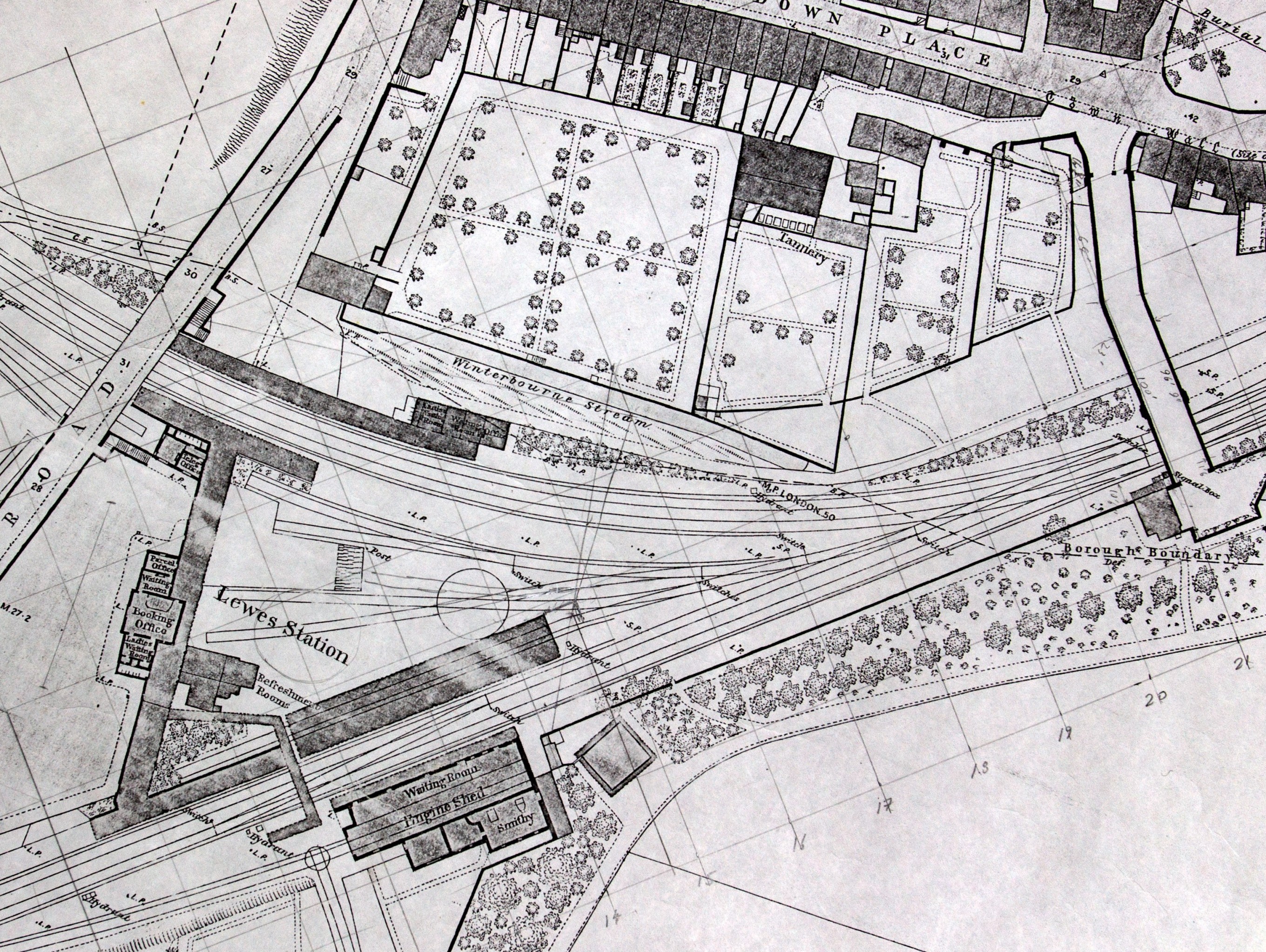
Lewes Station 1857 - 1889
The snapshot of the 1873 1:500 scale map shows very clearly the overall arrangement of track, buildings and structures. This map also provided good triangulation of building dimensional data obtained by brick counting from photographs and positions of windows and doors where no other evidence exists.
CAD modelling was also used to visualise the overall scene, beyond that of the existing photographs , by bringing the individual models together into one file as can be seen in the gallery below.

